Karttakeskus Kuhmo Lentiira Jonkeri



Dispatch time 1-2 business days
Available delivery methods: UPS Express Saver
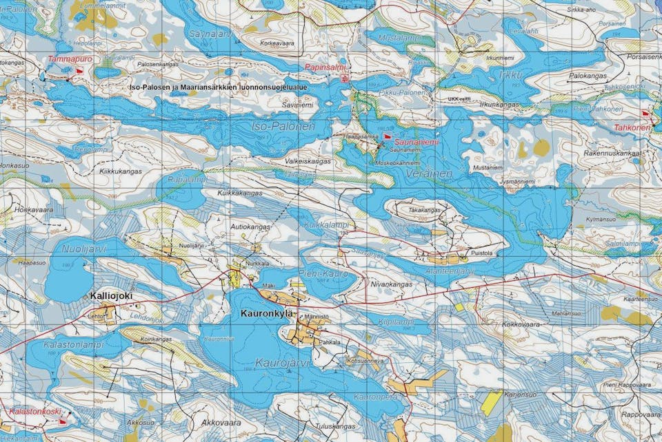
Two-sided, waterproof map from the Lentiira - Jonkeri region in Kuhmo.
Folded waterproof map. Topo maps are folded terrain maps printed on waterproof and non-tear material. They now have double-sided printing, which means that the map sheet covers twice as much as before. The maps withstand heavy use and do not wear out even in harsh conditions.
Printed in 2021.
The map is adapted for off-road use, and the topo map is the best choice for areas favored by hikers, fishermen and hunters in areas that don’t have dedicated outdoor maps.
The basic material is the National Land Survey’s Terrain Database, and the data content corresponds to traditional paper terrain maps. In addition, shelters and huts have been marked on the maps.
Scale 1:50 000
Size: 100 x 70 cm


