Garmin eTrex Touch


$429.76VAT 0% - Duties and fees included in the cart.
This product is not shipped to United States
The best eTrex ever! A touch screen GPS with long battery life.
Trex GPS devices have always been compact, but never before has eTrex been so full of features.
The easy-to-use touchscreen replaces the button-operated interface, the high-quality display reveals terrain details, and the battery life is excellent. By connecting eTrex Touch to your smartphone, you can control many features. The eTrex itself is weather- and shock-resistant (MIL-STD 810 standard, IP67 protection level), meaning it’s safer to carry visibly during hikes than a phone.
With Garmin’s mobile app, you can plan trips and view travel data on your smartphone or tablet, as well as manage waypoints, routes, and tracks. Geocaching Live compatible: use the geocaching app’s cache updates for descriptions, logs, and hints. When connected to the Garmin Explore app on a compatible smartphone, all your finds are uploaded to your geocaching.com profile.
The phone app also enables you to share your location data to the people you choose to share it with.
The back panel of the eTrex Touch features a Spine Mount 2 attachment, which allows it to be mounted with separately sold mounting accessories.
- 3” touchscreen
- Up to 130 hours of battery life in normal mode, and up to 650 hours in the most extreme power-saving mode
- Preloaded road and trail maps
- Real-time weather forecasts (when connected to a smartphone or Wi-Fi)
- Routing features include popularity-based route guidance and round-trip routing: specify your preferred loop length and the device calculates route suggestions
- The device displays upcoming climbs with their location and steepness
- The digital compass keeps the map image automatically oriented
- Garmin Share compatible: share routes and locations between compatible Garmin devices
- The eTrex Touch is compatible with the Outdoor Maps+ subscription app — this app provides you with premium-quality topographic map material, including satellite images.
- Bactrack function leads you to where you came from, using the same exact route
Feature list:
- Lens material Chemically strengthened glass
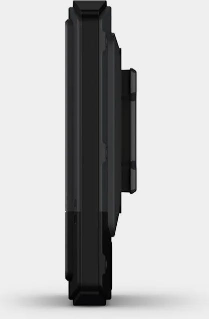
- Dimensions 66 mm x 105.4 mm x 24.6 mm (2.6″ x 4.15″ x 0.97″)
- Weight 150 g (5.3 oz)
- Water resistance rating IP67
- Touchscreen
- Display type 3″ transflective TFT color display
- Display size, W x H 3.88 cm x 6.48 cm (1.53″ x 2.55″); diagonal 7.62 cm (3″)
- Display resolution, W x H 240 x 400 pixels
- Battery type Rechargeable internal lithium-ion
- Battery life All satellite systems + multiband: up to 130 hours*
- Power-saving mode: up to 650 hours *Typical use with SatIQ technology by default
- Memory/history 32 GB (user space depends on preloaded maps)
- Interface USB-C
- Maps and memory
- Preloaded maps Yes (TopoActive, supports routing)
- Ability to add maps
- Basemap
- Automatic routing (turn-by-turn road routing)
- Map segments Yes (15,000)
- Satellite images Yes (with Outdoor Maps+ subscription)
- Includes detailed information on water bodies (coasts, lakes and rivers, shorelines, wetlands, and both permanent and seasonal streams)
- Includes searchable points of interest (parks, campsites, and scenic or picnic areas)
- Displays national, state, and local parks, forests, and wilderness areas Waypoints
- Routes Unlimited
- Tracks Unlimited
- Activity profiles
- GPX imports
- Sensors
- GPS
- GLONASS
- Galileo
- QZSS
- Beidou
- IRNSS
- Barometric altimeter
- Compass
- High-sensitivity receiver
- GPS compass (while moving)
- Multiband frequency
- Daily smart features
- Connect IQ™ (downloadable watch faces, data fields, and apps)
- Smart notifications on the device
- Weather
- Weather (active option removable)
- Compatible with Garmin Connect™ Mobile
- Garmin Share
- Passcode
- Next word, auto-complete, auto-correct Yes (Next word, auto-complete, auto-correct)
- Safety and tracking features
- Livetrack
- Tactical features
- AB Synapse compatible
- Ballistics calculator Yes (requires activation)
- Dual-grid coordinates
- Night vision mode
- Outdoor and recreation features
- Point-to-point navigation
- TracBack®
- Area calculation
- Sun and moon phase data
- Suitable for geocaching Yes (Geocaching Live)
- Compatible with custom maps Yes (500 custom map tiles)
- Picture viewer
- Outdoor apps
- Compatible with Garmin Explore™ app
- Supports Garmin Explore website
- Connections
- Wireless connections Yes (Wi-Fi®, BLE, ANT®)
- Manuals
- Software