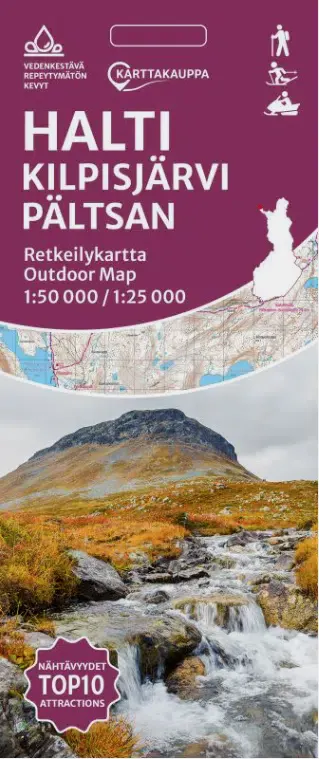
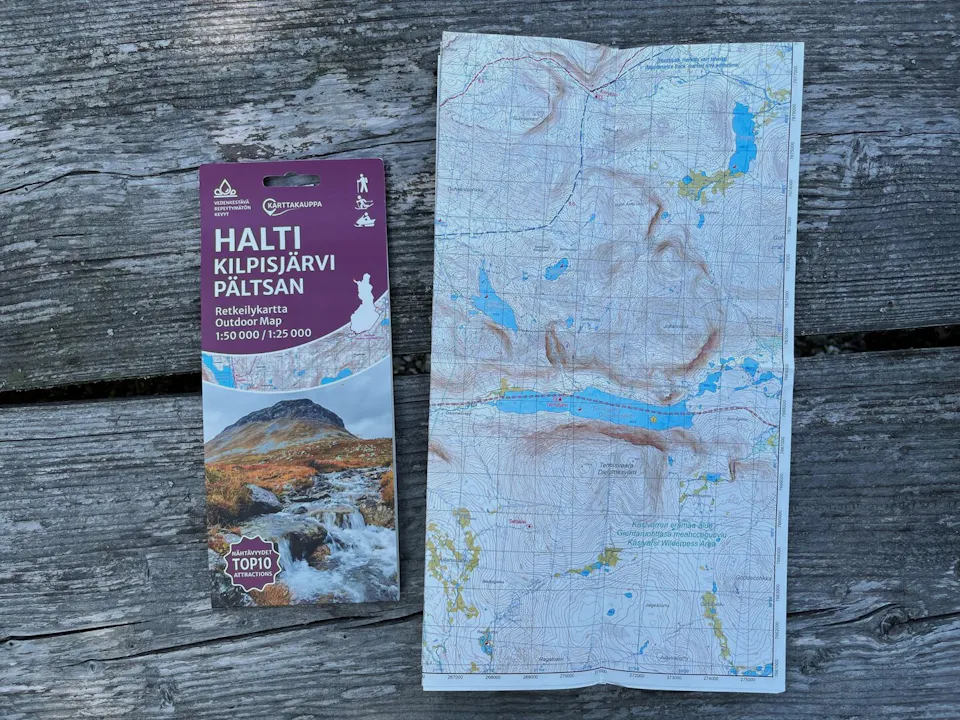
Karttakauppa Kilpisjärvi Pältsan 1:50 000 / 1:25 000
$18.24VAT 0% - Duties and fees included in the cart.
This product is not shipped to United States
Kilpisjärvi, Saana, Pältsan. Waterproof map.
The Halti Kilpisjärvi Pältsan hiking map covers one of Finland’s most beloved landscapes: the magnificent Saana fell and the surrounding rugged fells. The Käsivarsi Wilderness Area features challenging terrain, and those embarking on longer hikes must be prepared for rapidly changing conditions.
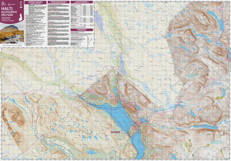
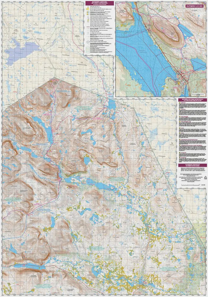
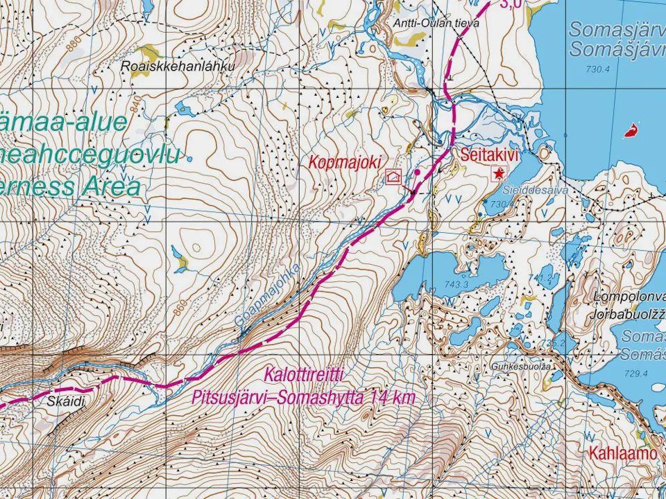
The map covers the northernmost tip of the Käsivarsi region on the Finnish side, as well as adjacent areas in Sweden and Norway, at a scale of 1:50,000 (1 cm on the map equals 500 m in terrain). Routes such as the Nordkalottleden Trail and the trails and huts along the way to Halti are marked on the map. It is also highly suitable for general hiking in the Kilpisjärvi area, as there is a separate, more detailed map of the Kilpisjärvi area and Saana fell at a scale of 1:25,000.
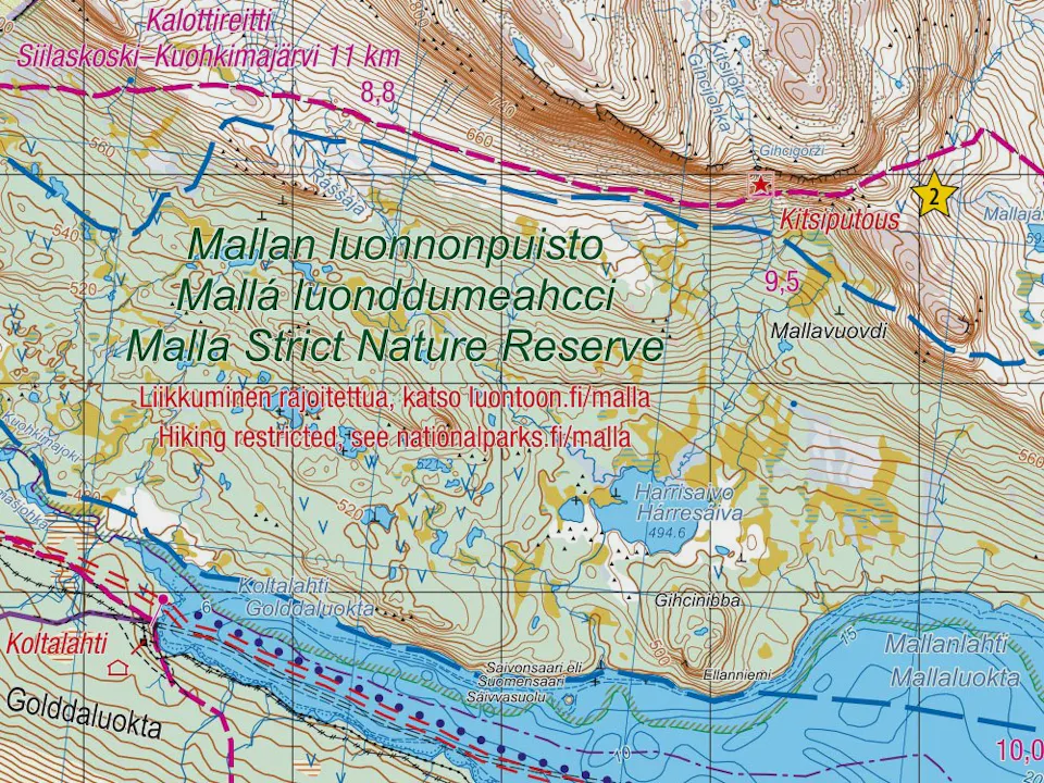
To the west, the map extends to Sweden’s Pältsan fell. The Malla Strict Nature Reserve is also shown. The easternmost point on the map is the Tenomuotka wilderness hut, and in the south the Ailakkajärvi wilderness hut and Termisvaara are included. In the north, the map reaches slightly beyond the Guolášjávri parking area on the Norwegian side, north of Halti.
The hiking map is based on the National Land Survey of Finland’s terrain database, supplemented with maps from Sweden and Norway. Hiking information such as marked trails, rest areas, huts, and service points is added on top of the base map.
The hiking maps are printed on lightweight and waterproof Tyvek material. The map withstands folding and tearing excellently and, even when wet, does not wear out but dries quickly.
The Halti Kilpisjärvi hiking map was previously published by Karttakeskus in 2021. The hiking information was reviewed and updated in 2025.
