Maps, Finland

Calazo Karhunkierros Tyvek
A 1:25 000 hiking map printed on water resistant Tyvek material.

Calazo Seitseminen Helvetinjärvi Pirkan Taival Tyvek
A 1:25 000 hiking map printed on water resistant Tyvek material.

Calazo Nuuksio Noux Tyvek
A hiking map printed on water resistant Tyvek material.

Calazo Levi Ylläs Tyvek
A hiking map printed on water resistant Tyvek material

Calazo Pyhä-Luosto Tyvek
A 1:25 000 map printed on water resistant Tyvek material.
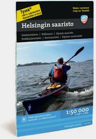
Calazo Helsinki Archipelago Tyvek
A paddling and hiking map printed on water resistant Tyvek material.

Calazo Saariselkä Hammastunturi Tyvek
A 1:25 000 hiking map printed on water resistant Tyvek material.
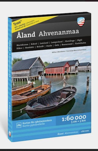
Calazo Åland Ahvenanmaa
A complete map of Åland, for cyclists, hikers and paddlers.

Calazo Inarijärvi Vätsäri Tsarmitunturi Tyvek
A 1:25 000 hiking map printed on water resistant Tyvek material.

Calazo Peuran polku Salamajärvi Tyvek
A 1:25 000 hiking map printed on water resistant Tyvek material.

Calazo Kemihaara Tuntsa Värriö Tyvek
A 1:50 000 map printed on water resistant Tyvek material.

Calazo Lemmenjoki Tyvek
A 1:25 000 hiking map printed on water resistant Tyvek material.
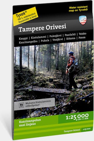
Calazo Tampere Orivesi Tyvek
A 1: 25 000 map of the Tampere and Orivesi hiking areas.

Calazo Pallas-Ylläs-Aakenus Tyvek
A 1:50 000 hiking map printed on water resistant Tyvek material.
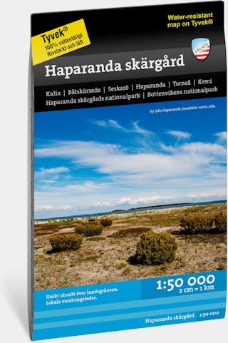
Calazo Haparanda
A 1: 50 000 map of the Haparanda area.

Calazo Northern Karelia Tyvek
A 1:25 000 hiking map printed on water resistant Tyvek material.

Calazo Urho Kekkonen national park Tyvek
A 1:50 000 hiking map printed on water resistant Tyvek material.

Calazo Teijo Kemiönsaari Tyvek
A hiking map printed on water resistant Tyvek material.
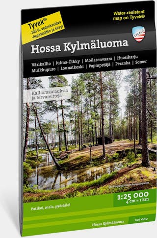
Calazo Hossa Kylmäluoma Tyvek
A 1:25 000 hiking map printed on water resistant Tyvek material.

Calazo Liesjärvi Torronsuo Tyvek
A 1:25 000 hiking map printed on water resistant Tyvek material.

Calazo Evo & Päijänne Tyvek
A 1:25 000 hiking map printed on water resistant Tyvek material.

Calazo Geopark Tyvek Lappeenranta, Imatra....
A 1 : 50 000 map, printed on water resistant and rip-proof material.

Calazo Geopark Tyvek Mikkeli, Puumala...
A 1 : 50 000 map, printed on water resistant and rip-proof material.

Karttakauppa Pallas Hetta Olos 1:50000/1:25000
A waterproof hiking map with Pallas, Hetta and Olos.

Calazo Kilpisjärvi Saana Halti
A detailed map for day hikes at Kilpisjärvi, and summiting Halti.
Calazo Kaldoaivi Wilderness Tyvek
Smell the Arctic Sea - this waterproof hiking map guides you around the area of Kaldoaivi.
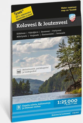
Calazo Kolovesi & Joutenvesi Tyvek
Waterproof hiking map.

Karttakauppa Nuuksio Luukki 1:50000
Nuuksio lake highlands. Waterproof map.
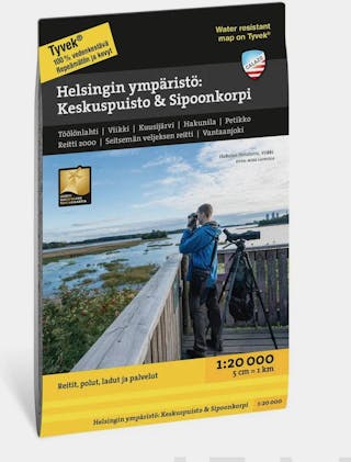
Calazo Tyvek Helsinki Keskuspuisto & Sipoonkorpi
A waterproof, super durable map, including routes from the coast to the central park and neighbouring towns.

Calazo Riisitunturi & Korouma
The Koillismaa area at its best. Waterproof, highly durable map.
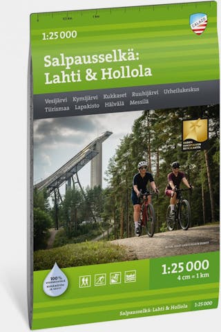
Calazo Salpauselkä: Lahti & Hollola
Waterproof map. Hike in scenery best known for skiing.

-35%
Karttakeskus Savukoski Pelkosenniemi Oratunturi
The crucial parts of Savukoski, Pelkosenniemi and Sodankylä, printed on waterproof paper.

Calazo Repovesi Mäntyharju Paistjärvi Tyvek
A map for the Repovesi national park area, printed on waterproof Tyvek.

Calazo Kiilopää Guide + Map
The complete package for enjoying the Kiilopää area in Finnish Lapland.

- Kuhankuono Map
A 2022 version of the Kuhankuono map. Text in English, Swedish and Finnish.
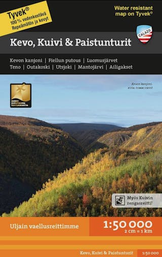
Calazo Kevo, Kuivi & Paistunturi Tyvek
A waterproof map from the Kevo, Kuivi and Paistunturi region, scale 1:50 000.
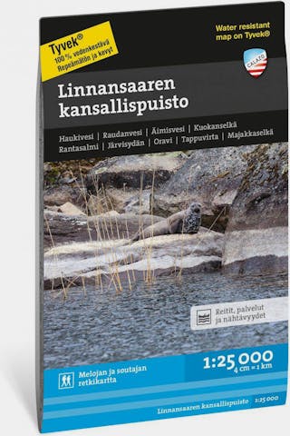
Calazo Linnansaaren Kansallispuisto Tyvek
Waterproof hiking map.

Calazo Rovaniemi: Napapiiri & Ounasvaara
An accurate, waterproof map for the Arctic Circle hiking area.

Karttakauppa Saariselkä Sokosti 1:50000
Saariselkä and Sokosti in the scale 1:50 000.
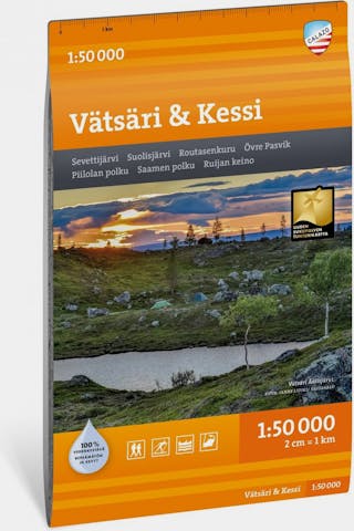
Calazo Vätsäri & Kessi
Wilderness region behind the Lake Inari. Waterproof product.

Calazo Syöte Tyvek
A 1:50 000 map of the Syöte area, printed on super tough, waterproof Tyvek material.

Calazo Muotkatunturit and Kaamasjoki Tyvek
Waterproof map for hiking.
Calazo Salla & UKK route Tyvek
Waterproof hiking map.
Calazo Kainuu: Vuokatti, Hiidenportti & Tiiilikkajärvi
A waterproof map for Vuokatti, Hiidenportti and Tiilikkajärvi.

Calazo Hossa Retkeilyopas ja kartta
A map and hiking guide booklet for the Hossa area.

Calazo Kaaresuvanto Tarvantovaara Lätäseno
A waterproof map of the Kaaresuvanto, Tarvantovaara and Lätäseno region.

Karttakauppa Kilpisjärvi Pältsan 1:50 000 / 1:25 000
Kilpisjärvi, Saana, Pältsan. Waterproof map.

Calazo Nötö Kasnäs Utö
A sailing map from the Nötö, Kasnäs and Ute region.

Calazo Ropi Raittijärvi Termisjärvi
The most popular hiking destinations of the "Käsivarsi" region in Finnish Lapland.