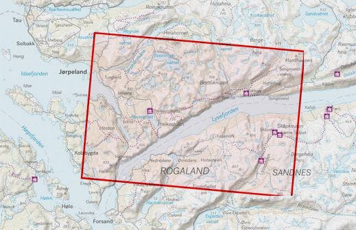
Calazo Abisko - Riksgränsen
A waterfast map from the Abisko and border area.

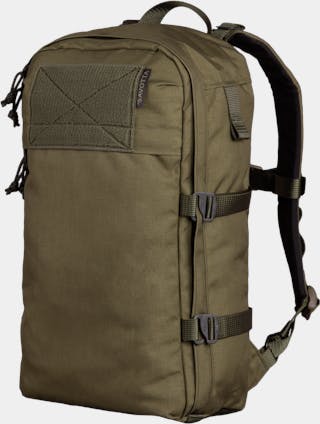
Dispatch time 1-2 business days
Available delivery methods: UPS Express Saver
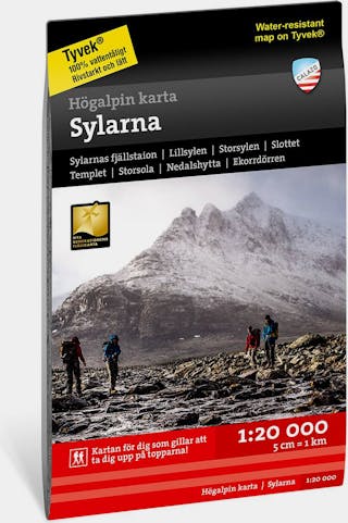
This map has a wealth of details that have never been shown before in the vicinity of Preikestolen. Terrain data is based on laser scanning. For the first time, mountain slopes, larger cliffs and water bodies are repeated with a precision similar to reality. The scale of 1:20,000 provides good support for hikers or otherwise hikers departing from marked trails.
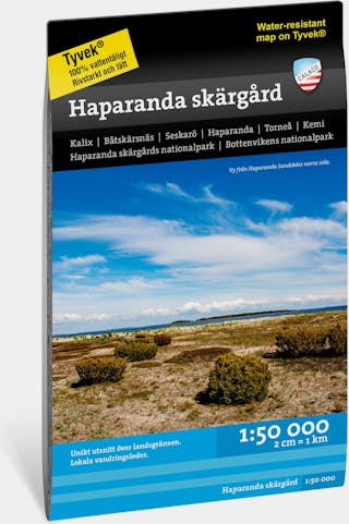
The Tyvek material is lightweight, really strong, and completely waterproof - thanks to this and the waterproof ink, the map can withstand use and rain.