Top 3 Outdoor Destinations in Turku
In this post, we introduce three hiking destinations in the Turku area that we can recommend to anyone who enjoys getting outdoors. All three are easy to reach, with shorter and longer routes that work for anything from a day hike to a longer trip. Ruissalo, Kurjenrahka and the Kuhankuono trail network will be familiar to many locals, but even familiar places can still surprise you.
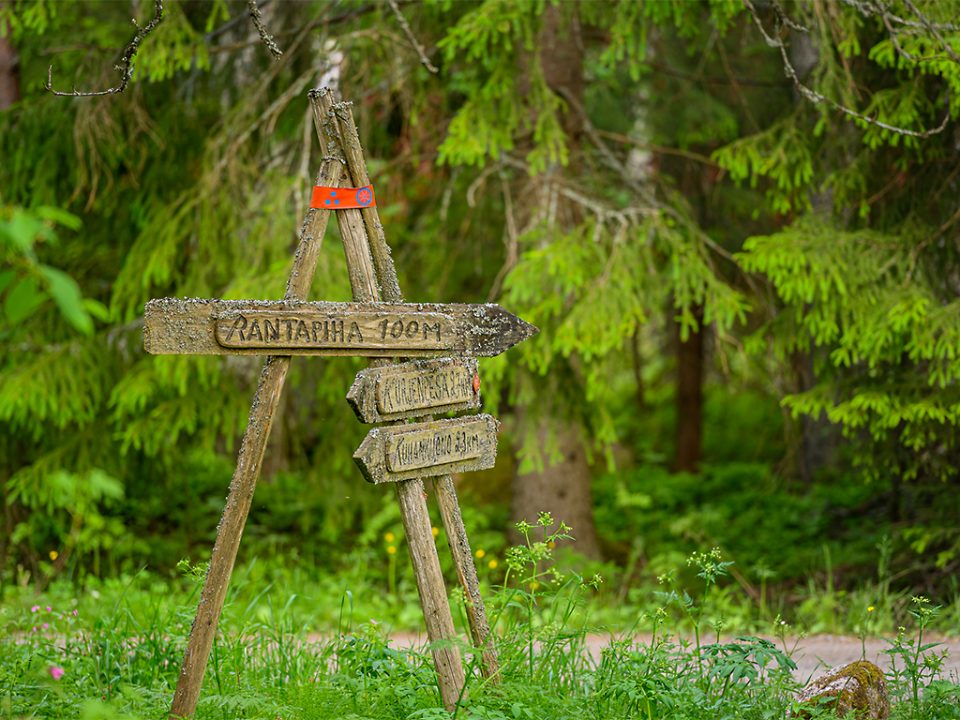
Turku's top 3 hiking destinations
1. Ruissalo
- A long, narrow island right next to Turku city centre — easy to reach by bus or bike.
- Oak woodland and lush green groves in summer; in winter, you may spot roe deer.
- Nature trails and shoreline paths give you several kilometres of walking and plenty of good views.
2. Kurjenrahka National Park
- A popular nature destination just north of Turku.
- Several waymarked trails that you can combine to suit the length of your outing.
- The Savojärvi loop, for example, is ideal for an unhurried walk, and the duckboard trails run through striking scenery.
- Longer hikes, such as the Vajosuo loop, offer a proper challenge and plenty of peace and quiet.
3. Kuhankuono trail network
- A large hiking area made up of multiple routes and sections of varying length.
- You can stick to short paths or link several sections into a long loop.
- The different sections offer a varied mix of terrain, with options for overnight stays too.
Ruissalo
Ruissalo is a beautiful, long and narrow island right on the edge of central Turku. Getting there is easy on Turku's local buses, which run on a regular timetable. If you live nearby, cycling there is just as simple. In summer, you can also take the waterbus, which departs from the banks of the Aura River.
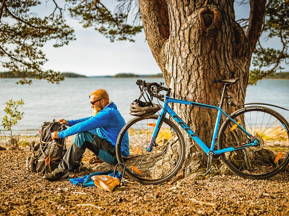
Ruissalo is known for its oak woodland, which is at its best in the summer months. The deep greens of the lush groves make the island a pleasure to walk through, so summer is the obvious time to visit. That said, the island's roe deer stay active through the winter, and you can often see them picking their way across the snowy fields.
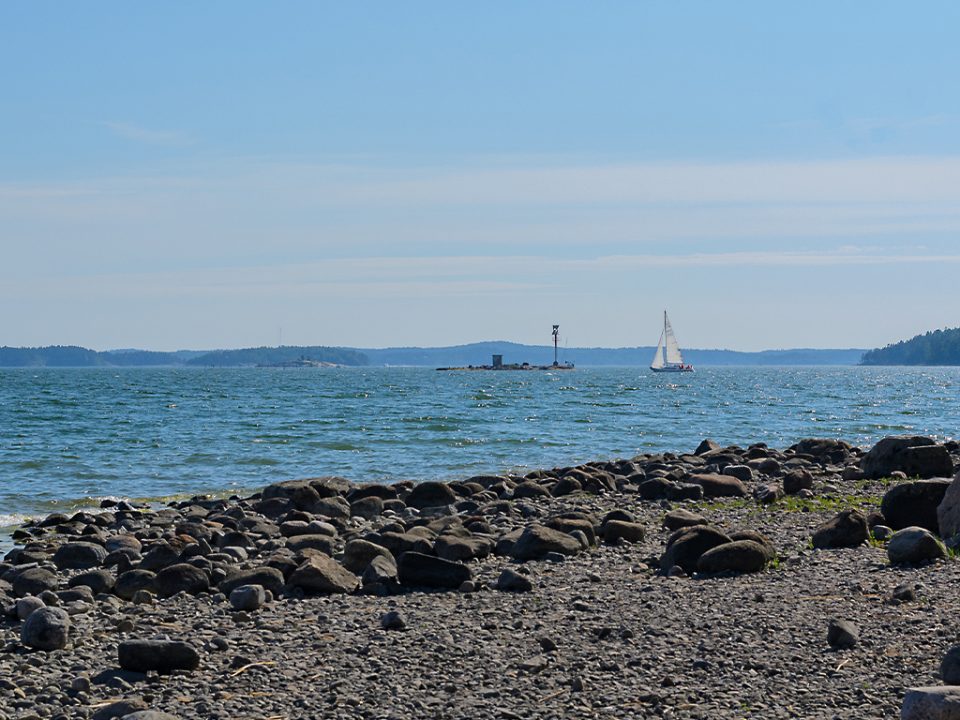
The island has several kilometres of waymarked nature trails and outdoor routes. The seaside promenade starting from the corner of Kansanpuisto park is long and straight, but there's still plenty to look at along the way, and Turku Castle is in view for part of it. After the promenade, the nature trail turns into the woods in the north-east of the island, where you'll find a bird-watching tower. From the top, you get a view across the island, out to sea and up the Aura River.
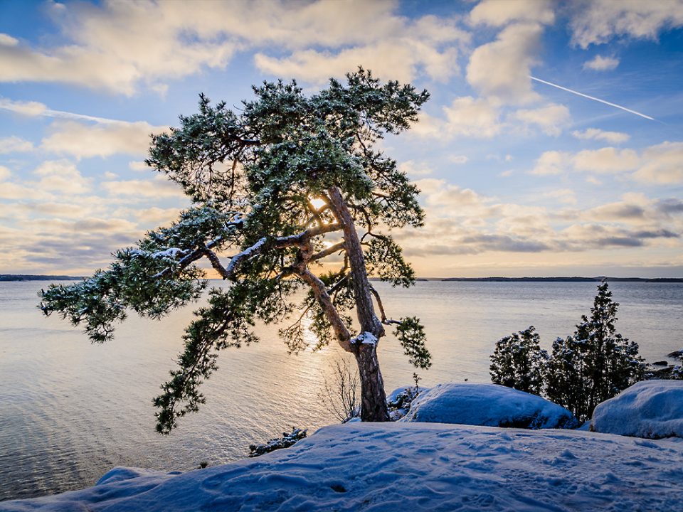
Further into the island, coming from the city, is the Kuuva headland, where a 9.5 km nature trail winds through a mix of landscapes. Along the way you'll pass through broadleaf woodland and fields, and at the tip of the headland, smooth rocky shores give you a taste of the archipelago.
Kurjenrahka
North of Turku, Kurjenrahka National Park is easy to reach and has something for everyone. Local buses 21 and 23 run there from Puutori. If you're driving, there are several car parks, so you can choose where you want to start.
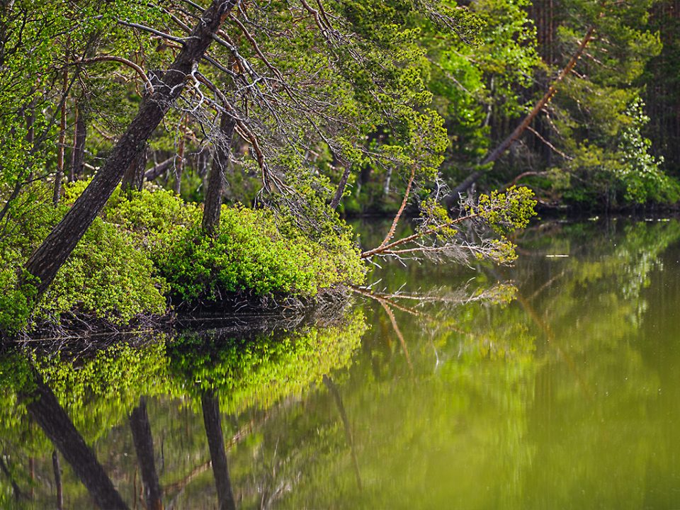
There are several waymarked trails, which you can walk on their own or combine, so it's easy to find a distance that suits you. The Karpalopolku trail, just under two kilometres long, is fully accessible for wheelchairs and pushchairs. As in most national parks, the main activities here are walking and taking in the nature. For something different, the park is also home to a number of geocaches. Hunting for them is a fun way to see the park from a new angle.
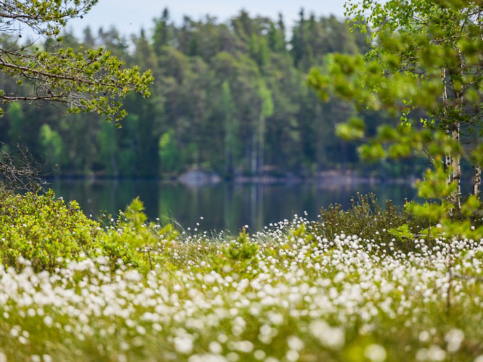
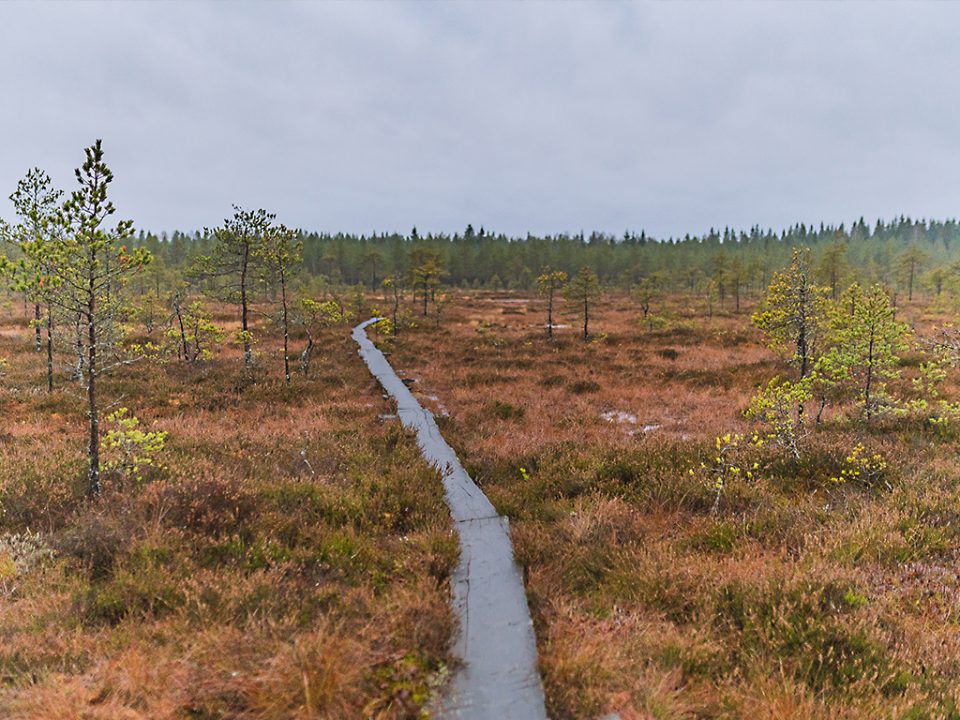
With so many routes, where should you start? At a relaxed pace, the Savojärvi loop takes a couple of hours. Along the way you cross bog terrain on duckboards and, of course, follow the shores of Lake Savojärvi.
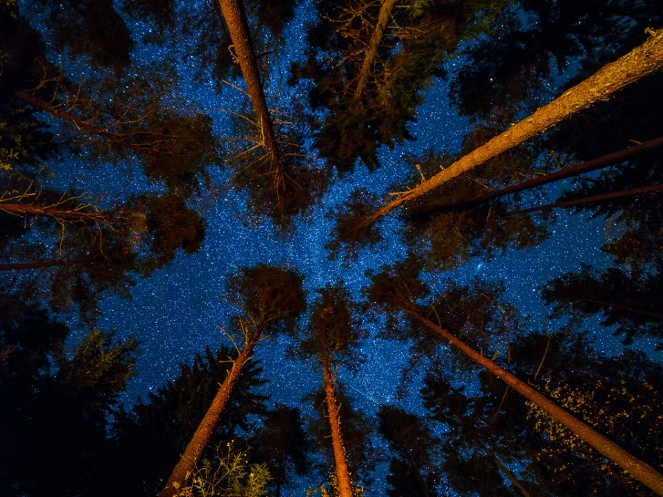
It's an easy route and one we'd recommend to anyone. If you want to go further, the Vajosuo hike covers thirty kilometres — long enough that you'll need to plan an overnight stop. The Vajosuo loop also links up with the Kuhankuono trail network, our next destination.
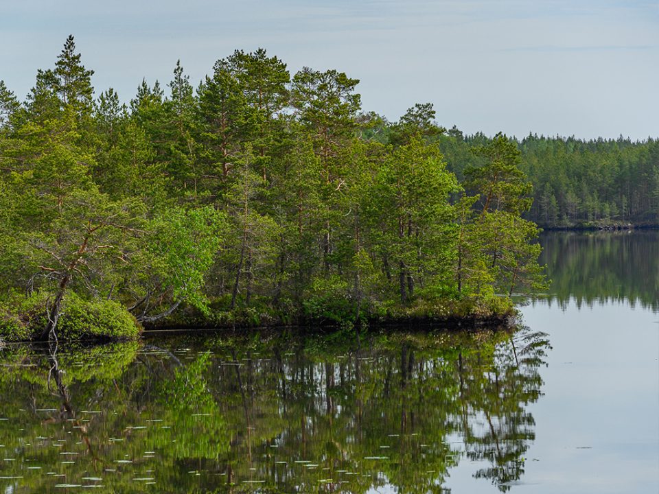
Kurjenrahka National Park feels quite different depending on the season. When the ground isn't frozen, stay on the waymarked trails — walking freely across the bogs isn't permitted. In winter, with enough snow cover, you can ski across the bogs and see the park from a completely different perspective. We'd encourage you to try both!
Kuhankuono trails
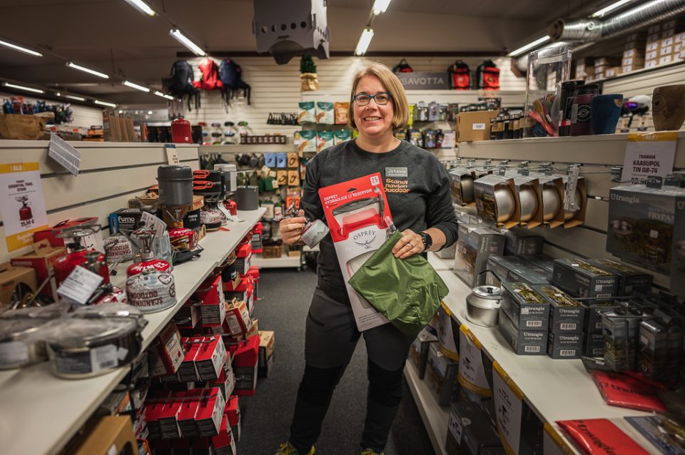
The Kuhankuono trail network differs from the other two destinations in that it spreads across a wide area and is made up of multiple sections, ranging from short stretches to circular routes. We got some tips from someone who knows the network inside out: Johanna, textiles lead at our Kuninkoja store, who has walked the Kuhankuono trails several times over.
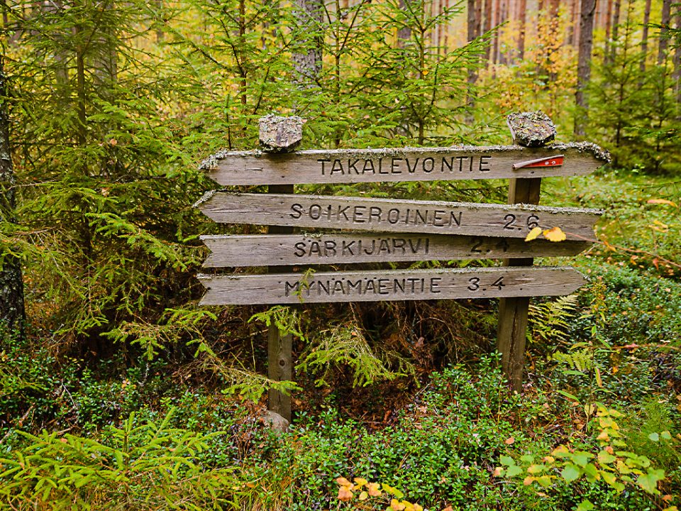
Coming from the south, you can easily join the network next to Raisio town centre, for example at the Haunisten allas reservoir or Kullaanvuori. The southernmost point of the network is at the mouth of the Raisio River, close to Ruissalo, and from there the trails run all the way to Yläne. Following the different sections of such a large network can be tricky if you don't know the area well, so Johanna recommends the Kuhankuono trail map, last updated in 2022.
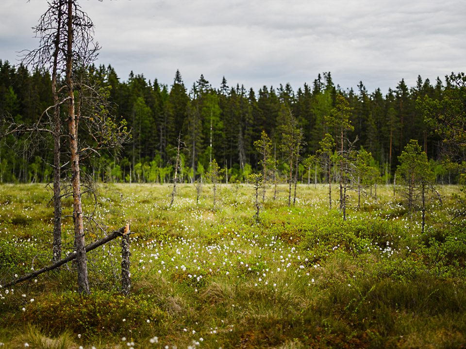
Picking favourite spots is never easy, as they're usually tied to personal experiences that won't necessarily match anyone else's. Even so, Johanna's favourite stretch of the network is the Rehtsuo section. It's flat, open bog landscape that's pleasant and easy to walk. There are good tent pitches in the area if you want to spend the night outdoors. Johanna especially likes Rehtsuo in spring, when nature is waking up after winter and full of life, from insects to wildflowers.
Her second recommendation is the Kangenmiekka loop, a route of its own within the Kuhankuono network that connects to the Vajosuo hike in Kurjenrahka National Park. On the Kangenmiekka loop you'll find a sandy-bottomed spring with fresh, drinkable water.
When it comes to gear for the Kuhankuono network, Johanna's top pick is a hydration reservoir that sits in your pack and lets you carry a few litres of water without any hassle. Drinking water isn't always available along the trails, so it's wise to carry your own supply. The Osprey Hydraulics LT 2.5 reservoir, for example, is a dependable choice for the job. Her second recommendation is a tarp. There are plenty of places to rig one along the trails, which makes finding a spot for the night much easier. Spring is a great time to sleep under a tarp, before the mosquitoes arrive. A good option is the DD Hammocks Tarp 3×3.